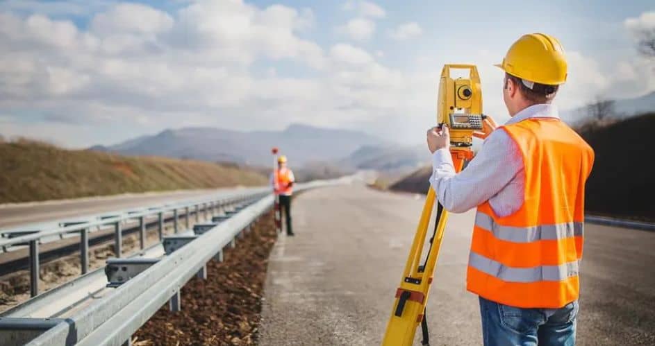
Land surveying may sound complex, but it’s a fascinating process that helps us understand our land better. It involves measuring distances and angles between points on the ground to create detailed maps and data about the Earth’s surface.
This information is crucial for civil engineering and construction projects, including building your dream home.
A Brief History of Land Surveying
Land surveying has been around for thousands of years! The ancient Egyptians were some of the first surveyors, using this technique to divide fertile land along the Nile River after yearly floods. Today, surveyors use a mix of traditional tools and digital technology for more accurate results.
Types of Land Surveys
Land surveys have three main categories:
Standard Land Surveys:
These describe boundary lines and calculate land areas.
Engineering Surveys:
These surveys ensure that construction companies or builders construct buildings in the right place, among other things.
Informational Surveys:
These are used to create maps and charts.
Geodetic Surveys:
Cover large areas and consider the Earth’s curvature for precision. They use techniques like triangulation and trilateration. Drone surveyors Gloucestershire offer cutting-edge aerial imaging solutions for comprehensive land assessments.
Plane Surveys:
Used for smaller areas, assuming the Earth’s surface is flat. They rely on plane trigonometry and geometry.
Uses of Land Surveying in Home Construction
Land surveying plays a crucial role in the construction of homes and buildings. Some common uses include:
Establishing Boundaries:
Surveyors determine property boundaries, which helps them decide where to place roads, buildings, and fences. This avoids property line disputes.
Environmental Impact Assessments:
Surveys assess potential sites to minimize environmental impact before construction.
Geospatial Measurement:
Precise mapping of site features and coordinates.
Setting Out:
Surveyors help establish building lines and road alignments according to construction drawings.
Photogrammetry and Remote Sensing:
Using digital images and satellite photography for mapping land use.
Geomatics and Geomechanics:
Collecting data and monitoring land movement during construction.
Hydrographic Surveying:
Gathering data for canals, navigational charts, and more.
Land Surveying Techniques
Surveyors use various techniques based on the type of survey:
Triangulation:
Using connected triangles to measure angles and distances efficiently.
Trilateration:
Calculating angles and distances using electronic surveying equipment suitable for rough terrain.
Traverse:
Using measured lines and points to survey areas, often used in preliminary road surveys.
Leveling:
Determining the height of points relative to each other for elevation information.
Radiation:
The Plotting points along the survey area’s boundary on a survey sheet.
Cost of a Land Survey
The cost of a land survey depends on factors like the area’s size, the level of detail required, legal fees, and urgency. Planning ahead and communicating your requirements clearly to the surveyor can help you get accurate quotes and avoid overspending.
Remember, the cheapest option may only sometimes provide the best results.
Conclusion
Land surveying is a valuable tool that guides the construction of our homes and buildings. Through precise measurements and mapping, surveyors ensure that structures are built in the right places, protecting property boundaries and the environment.
Whether constructing a new home or renovating an existing one, land surveying is the foundation for a successful and safe project.
